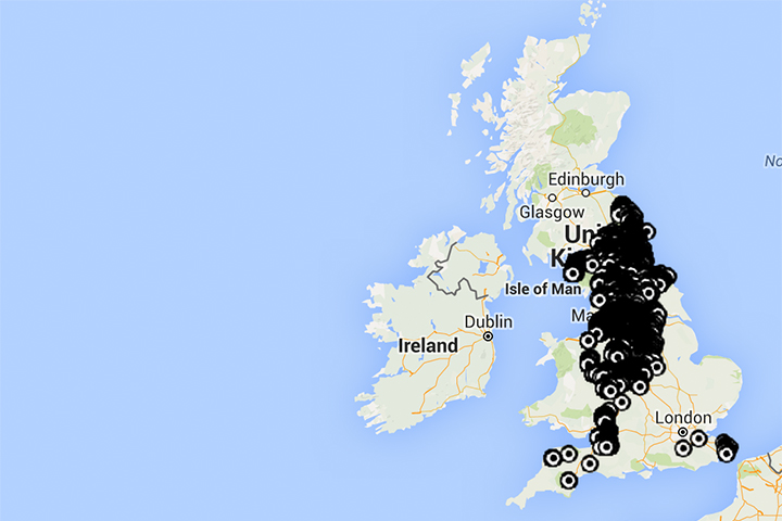
We have just made available the NMRS database of some 23,000 Collieries in the British Isles as an overlay on Google Maps & Earth. Clicking on a marker pin will reveal more information about that colliery including, its name (the name is already displayed on the Google Earth version), when it opened & closed and what companies worked it. England, Scotland & Wales are now complete and Ireland is due soon.
We are proud to make this valuable tool freely available to anyone interested in coal mining history.
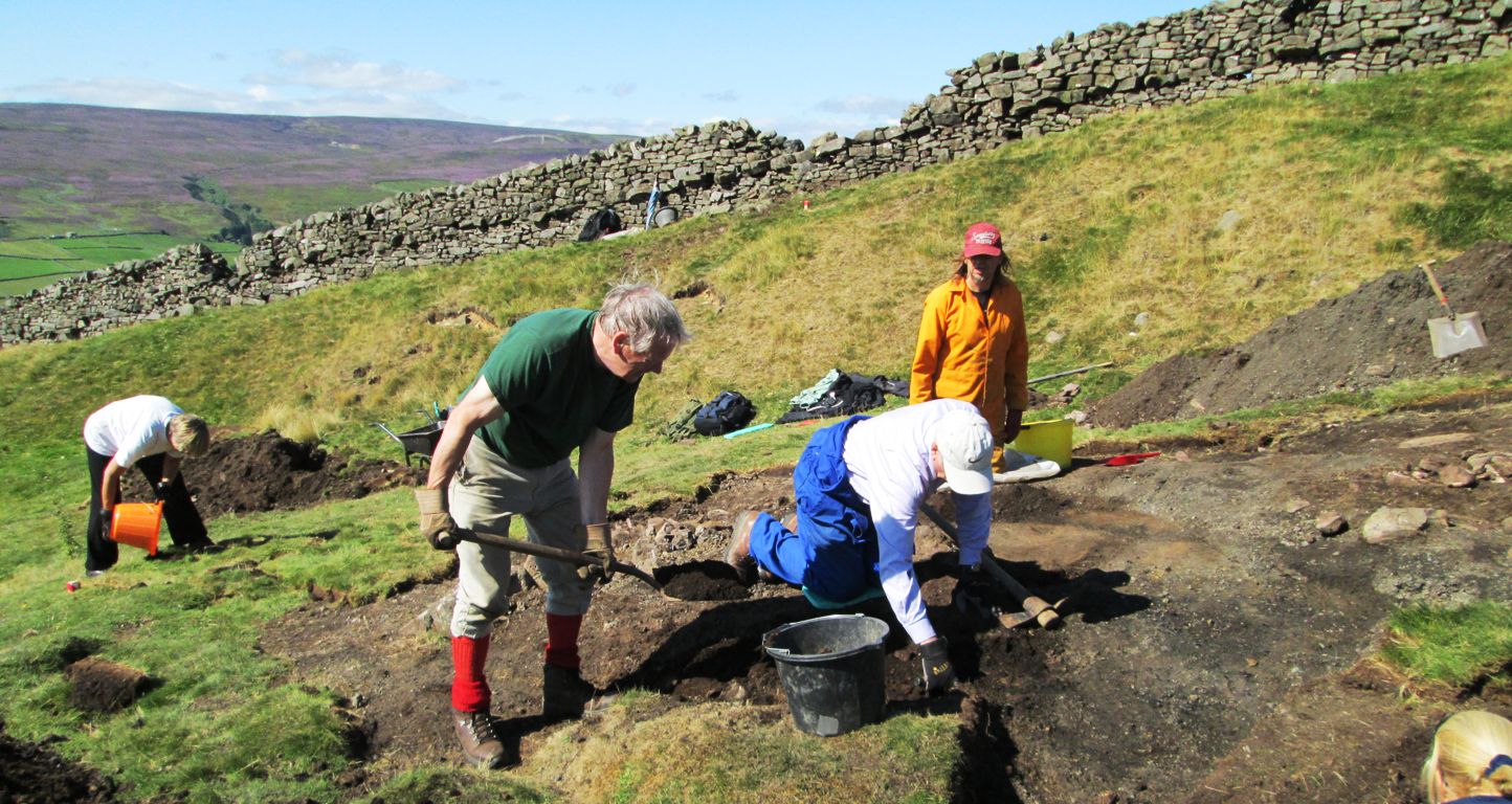
A similar database of non ferrous mines is in preparation.